From Camp 2011 Public Wiki

2011/08/02 - Pylon
We created a nice Campguide for your orientation
Published
Campmap-v1.png
Campguide released
For your orientation and answering the most frequent questions, we created a nice Guide.
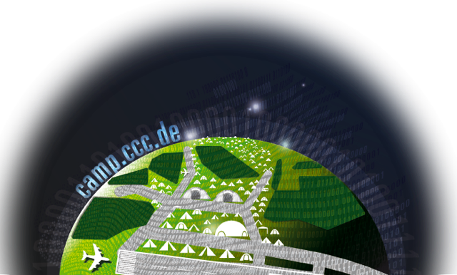
Included in the Campguide is a map with all the facilities and the larger Villages. In the center are the two lecture shelters “Kourou” and Baikonur” and the “Hackcenter” north of it. In front of the Hackcenter shelter is the “Motodrone” located, the area where you can fly your quadcopters or similar objects. Behind the Hackcenter next to the small forest you can find the “Trockendock”, an area with music, lights and bars. South and east of the lecture shelters is the main camping area with a lot of villages. In the West you can find the Workshop shelter “Mojave”, some snack bars and the C.E.R.T. (Chaos Emergency Response Team) for first aid. It's also the area where it is more silent and best suited for families.
We chose names for the roads, so that you can easily describe your location. West-to-East roads carry names from space scientist, North-to-South roads are named after famous space travelers and in contradiction the diagonal roads carry names from fictional space travelers.
Villages which are not located on the map can choose a free place by their own.