
From Camp 2011 Public Wiki
Size of this preview: 714 × 599 pixels
Full resolution (1,208 × 1,014 pixels, file size: 354 KB, MIME type: image/jpeg)
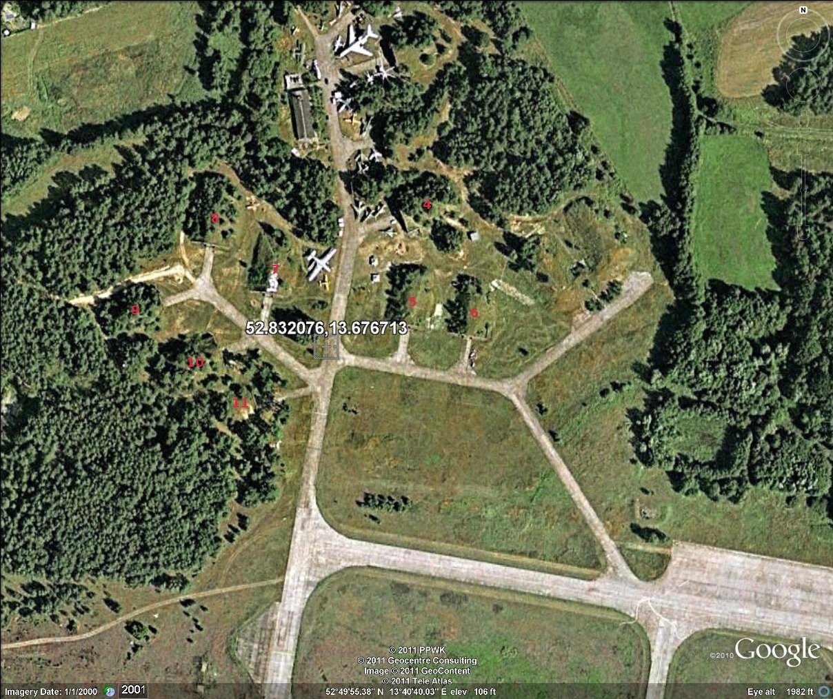
Aerial picture from google earth with shelter numbering
File history
Click on a date/time to view the file as it appeared at that time.
| Date/Time | Thumbnail | Dimensions | User | Comment | |
|---|---|---|---|---|---|
| current | 13:07, 10 April 2011 | | 1,208×1,014 (354 KB) | Cpunkt (Talk | contribs) | (Aerial picture from google earth with shelter numbering) |
- Edit this file using an external application (See the setup instructions for more information)
File links
The following page links to this file:


