maps and views
If you want to get to the camp, you best take your car or try
to get a lift because getting there with a vehicle will be the
easiest way.
The Camp takes place at "Paulshof" near the city of Altlandsberg
north east of Berlin. The exact coordinates are
N 52° 34' 48"
E 13° 41' 31"
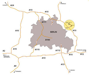
Click on the route map below the get a two-page PDF document providing
a detailed route map to the Camp.

waytothecamp.pdf [104 KB]
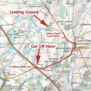
A more detailed view of the final meters is given in this road
map below. The route to be taken is marked red. You won't miss
it.

finalmeters.jpeg [140 KB]
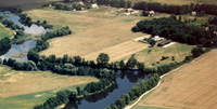
The landing ground is a nice open field near a lake with lots
of space to spread our stuff. Click on the photo to get a detailed
look at the place.

Here are a couple of views from the field giving an impression
what's waiting for you.
   
|

