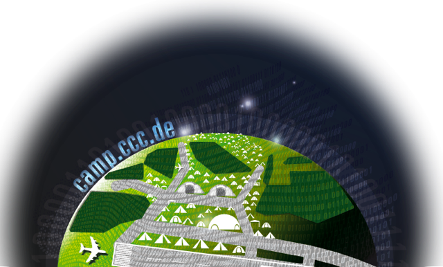
From Camp 2011 Public Wiki
Contents |
OUTDATED INFORMATION WARNING
This is a copy from the article in the 2007 camp wiki. The information may be outdated!
Introduction
The Camp takes place right next to an active airfield that is in use by private planes. In addition, it is situated just below Berlin controlled airspace "Charlie" which is used for departures and arrivals from and to Berlin's three international airports. As such, and in the interest of everyone's safety, certain rules and regulations need to be followed. [edit] Basic considerations
Flying your own airplane
If you are a private pilot, or happen to have friends who hold a pilot license, this year's camp has taken all the trouble out of your arrival planning. Finow airfield (EDAV) offers a generous 2520 meters of concrete runway, Russian style, and abundant parking space for private airplanes. See the Tower Finow web site for details on fuel prices, landing fees, and the like. Please keep in mind that during the camp, this will be a busy place, so just as always you should watch out for traffic and closely monitor the local info frequency 119,05 MHz.
If you're bringing a plane and would like to put it in a hangar instead of parking it out in the open, please check the hangar space page for details.
Flying your unmanned flying object
Since the camp takes place right next to an active airfield, according to German airspace regulations a special permission from the authorities and the approval of the local airfield supervisors/controllers is required for airborne activity of any kind in a vicinity of 1.5km.
The responsible persons at Finow airfield have been very friendly and supportive of our ideas in regard to flying unmanned objects in the immediate vicinity of the active runway, and with their support we have been able to obtain a special permission to use the airspace around the airfield during the camp. The application for this permission was geared towards the projects planned in the Flying Objects village and the Open Source Drone workshop, namely the
- "Quadrocopter class" of aerial vehicles, including the Mikrokopter and the UAVP.
- classical remote-controlled helicopters, and
- a high-altitude weatherballoon project.
Based on the final permission, (do we have one??), we have the rare privilege of using the entire camp area for the planned projects, subject to the conditions outlined below. All people who have registered a project have already been informed via e-mail, so the information below serves as a summary and an aide-mémoire. Please remember that the special permission is a sensible mechanism to ensure the safe coexistence of all users of the airfield, and respect all limitations in regard to times, altitudes etc. that come with it. Keep in mind that above the camp, airspace "Charlie" starts already at 3500ft MSL, and we need to responsibly share the airspace below with many other users.
If you have a last-minute project that you would still like to be included, please contact the camp's airspace coordinator at ???, who will make every effort to still include your project. Please understand, however, that if he has to tell you that you can't fly, then that statement is final and not subject to complaints or debate.
UAV flight sector
Lateral and vertical limits
Take-off and landing. For all helicopters, the designated take-off and landing area is the square in front of shelters 8 and 9. The designated launch area for the weather balloon is at the end of the concrete path in the northeastern corner of the camp area, in front of mound Y2. See the map for a grapical representation.
Flight sector. We can use the entire camp area (as depicted on the map) for our flights. By staying within these lateral limits, we will not interfere with the airfield. All UAV pilots must ensure at all times that they do not endanger the safety of persons on the ground, or pose a threat to property on the ground. All helicopter pilots must always maintain visual contact with their helicopters. The helicopters can ascend to a maximum altitude of 50 meters above ground level. The weather balloon can ascend to unlimited altitude, subject to prior clearance by German air traffic control 30 minutes before launch.
Times
Helicopters. The helicopters can start and land every day during CCCamp (i.e. August 8 to August 12) from 10:00h local time to 30 minutes after sunset.
Weather balloon. We have two slots for the weather balloon on Friday and Saturday (August 10 and 11) at 11:00h local time, subject to prior clearance from air traffic control. Clearance is subject to traffic, so some delays are to be expected. [edit] Coordination
BEFORE EACH START, UAV PILOTS MUST OBTAIN PRIOR APPROVAL FROM THE FINOW AIRFIELD TRAFFIC SUPERVISOR ON DUTY. If there are incoming or departing airplanes in the vicinity, the start of your UAV might have to be delayed to ensure that there is no conflict with regular airfield traffic. The camp's airspace coordinator will coordinate calls to the airfield supervisors by telephone or VHF. Before each start, please call the airspace coordinator on the camp's internal DECT telephone network at extension 5444(?).
To ensure the best possible coordination between all users of the airspace in the vicinity, the local INFO frequency will be monitored and launches of unmanned aerial vehicles coordinated with the airfield supervisors and other pilots in the vicinity by VHF if required.
Insurance
Everyone who would like to fly his or her flying vehicle during the camp must take care of individual insurance for all his activities on his or her own. Please understand that the camp organizers cannot provide insurance services. If you would like to fly your unmanned flying object and do not yet have insurance, consider contacting an independent club or association like e.g. DMO or DAEC for assistance. Please carry your insurance certificate with you, as you may have to present evidence of proper insurance on site.
RC frequencies
If you plan on operating flying RC-controlled objects, please add yourself to the RC-Frequencies plan and state which frequency/frequencies you can operate your gear on.
Contact information
The camp's airspace coordinator will coordinate flying activities at the camp with the airport supervisors and other aircraft using the airfield. Please coordinate all your unmanned flying activities (remote-controlled flying objects, helicopters, drones, etc.) with him to ensure everyone's safety.